
Under topographic map
Click on the map to display elevation.
About this map
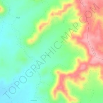
Name: Under topographic map, elevation, terrain.
Location: Under, Sailana Tahsil, Ratlam District, Madhya Pradesh, India (23.50231 74.81507 23.52030 74.83191)
Average elevation: 470 m
Minimum elevation: 408 m
Maximum elevation: 554 m