
Vereda El Aguacate topographic map
Interactive map
Click on the map to display elevation.
About this map
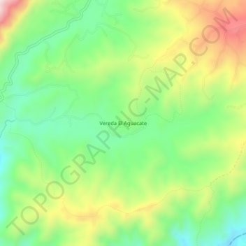
Name: Vereda El Aguacate topographic map, elevation, terrain.
Location: Vereda El Aguacate, Restrepo, Valle del Cauca, Colômbia (3.76238 -76.55615 3.80238 -76.51615)
Average elevation: 1,435 m
Minimum elevation: 1,263 m
Maximum elevation: 1,698 m