
界首乡 topographic map
Interactive map
Click on the map to display elevation.
About this map
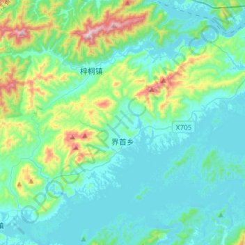
Name: 界首乡 topographic map, elevation, terrain.
Location: 界首乡, 淳安县, 杭州市, 浙江省, 中国 (29.48436 118.71222 29.64048 118.95592)
Average elevation: 233 m
Minimum elevation: 92 m
Maximum elevation: 893 m
Other topographic maps
Click on a map to view its topography, its elevation and its terrain.