
Cerro Juanita topographic map
Interactive map
Click on the map to display elevation.
About this map
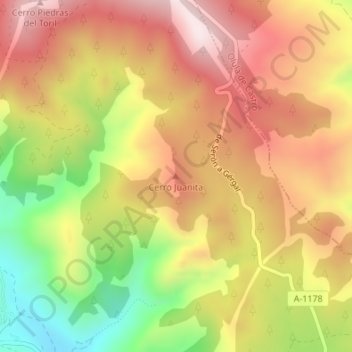
Name: Cerro Juanita topographic map, elevation, terrain.
Location: Cerro Juanita, Gérgal, Almería, Andalucía, España (37.16863 -2.52250 37.16873 -2.52240)
Average elevation: 1,190 m
Minimum elevation: 894 m
Maximum elevation: 1,419 m
Other topographic maps
Click on a map to view its topography, its elevation and its terrain.