
Ried topographic map
Interactive map
Click on the map to display elevation.
About this map
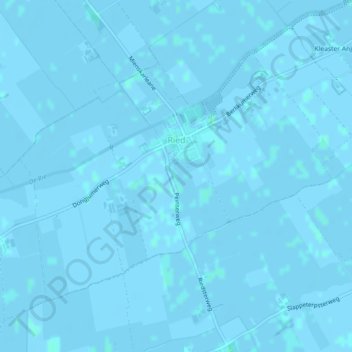
Name: Ried topographic map, elevation, terrain.
Location: Ried, Waadhoeke, Frise, Pays-Bas (53.21064 5.57078 53.22976 5.61081)
Average elevation: 0 m
Minimum elevation: -3 m
Maximum elevation: 3 m