Lac Clair topographic map
Interactive map
Click on the map to display elevation.
About this map
Name: Lac Clair topographic map, elevation, terrain.
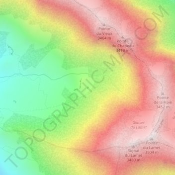
Average elevation: 2,944 m
Minimum elevation: 2,312 m
Maximum elevation: 3,483 m

Click on the map to display elevation.
Name: Lac Clair topographic map, elevation, terrain.
Average elevation: 2,944 m
Minimum elevation: 2,312 m
Maximum elevation: 3,483 m