
Мерке topographic map
Interactive map
Click on the map to display elevation.
About this map
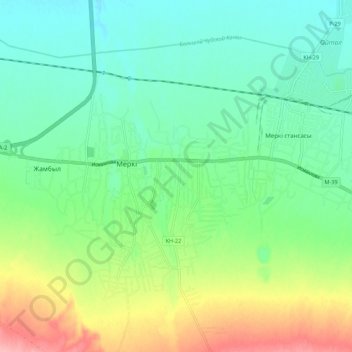
Name: Мерке topographic map, elevation, terrain.
Location: Мерке, Меркенский район, Жамбылская область, Казахстан (42.82853 73.14924 42.90853 73.22924)
Average elevation: 707 m
Minimum elevation: 670 m
Maximum elevation: 788 m