
Sunrise Beach topographic map
Interactive map
Click on the map to display elevation.
About this map
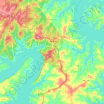
Name: Sunrise Beach topographic map, elevation, terrain.
Location: Sunrise Beach, Camden County, Missouri, United States (38.13435 -92.81065 38.20336 -92.74476)
Average elevation: 230 m
Minimum elevation: 191 m
Maximum elevation: 295 m
Other topographic maps
Click on a map to view its topography, its elevation and its terrain.
Lake Of The Ozarks
United States > Missouri > Camden County > Osage Beach
Lake Of The Ozarks, Osage Beach, Camden County, Missouri, 65079, United States
Average elevation: 265 m