
Смайловка topographic map
Interactive map
Click on the map to display elevation.
About this map
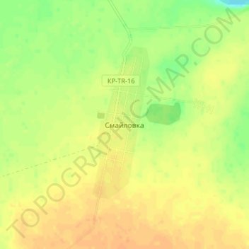
Name: Смайловка topographic map, elevation, terrain.
Location: Смайловка, Тарановский район, Костанайская область, Казахстан (52.10845 62.68377 52.14845 62.72377)
Average elevation: 229 m
Minimum elevation: 209 m
Maximum elevation: 240 m