
马史峪水库 topographic map
Interactive map
Click on the map to display elevation.
About this map
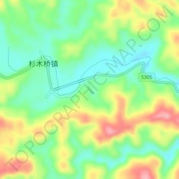
Name: 马史峪水库 topographic map, elevation, terrain.
Location: 马史峪水库, Shanmuqiao, Cili County, Zhangjiajie, Hunan, China (29.53673 110.94355 29.53799 110.94483)
Average elevation: 176 m
Minimum elevation: 127 m
Maximum elevation: 247 m