
Ruan topographic map
Interactive map
Click on the map to display elevation.
About this map
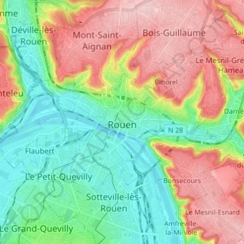
Name: Ruan topographic map, elevation, terrain.
Location: Ruan, Sena-Marítimo, Normandía, Francia metropolitana, Francia (49.41720 1.03006 49.46526 1.15212)
Average elevation: 72 m
Minimum elevation: -3 m
Maximum elevation: 171 m