
Dewar topographic map
Interactive map
Click on the map to display elevation.
About this map
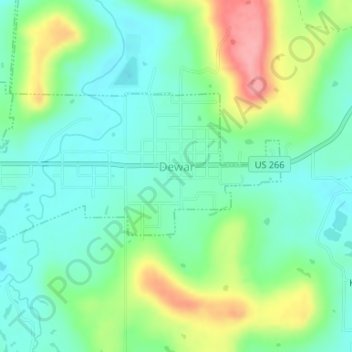
Name: Dewar topographic map, elevation, terrain.
Location: Dewar, Okmulgee County, Oklahoma, 74431, United States (35.45108 -95.96124 35.46379 -95.93162)
Average elevation: 221 m
Minimum elevation: 187 m
Maximum elevation: 292 m