
Monroe County topographic map
Interactive map
Click on the map to display elevation.
About this map
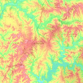
Name: Monroe County topographic map, elevation, terrain.
Location: Monroe County, Indiana, United States (38.99070 -86.68576 39.35570 -86.31747)
Average elevation: 222 m
Minimum elevation: 153 m
Maximum elevation: 300 m