
Leduc topographic map
Interactive map
Click on the map to display elevation.
About this map
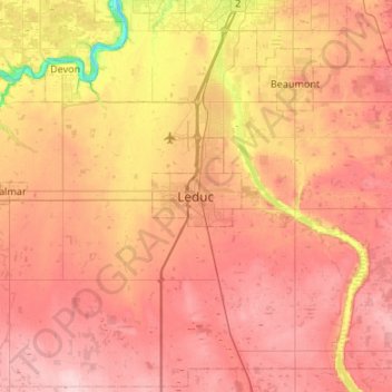
Name: Leduc topographic map, elevation, terrain.
Location: Leduc, City of Leduc, Alberta, T9E 5X4, Canada (53.10076 -113.71012 53.42076 -113.39012)
Average elevation: 735 m
Minimum elevation: 625 m
Maximum elevation: 809 m