
Alba topographic map
Interactive map
Click on the map to display elevation.
About this map
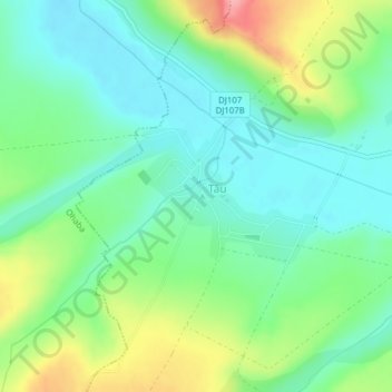
Name: Alba topographic map, elevation, terrain.
Location: Tău, Alba, 517641, Rumänien (46.06501 23.83406 46.07520 23.85250)
Average elevation: 306 m
Minimum elevation: 270 m
Maximum elevation: 384 m
Other topographic maps
Click on a map to view its topography, its elevation and its terrain.
Sângeorgiu de Pădure
Rumänien > Sângeorgiu de Pădure
Sankt Georgen auf der Heide, Sângeorgiu de Pădure, Mieresch, 547535, Rumänien
Average elevation: 419 m
Vidraru-See
Vidraru-See, Transfogarascher Hochstraße, Argisch, Rumänien
Average elevation: 1,102 m
Comloșu Mare
Großkomlosch, Comloșu Mare, Temesch, 307120, Rumänien
Average elevation: 82 m
Stausee Izvoru Muntelui
Stausee Izvoru Muntelui, DN15, Buhalnița, Neamț, 617243, Rumänien
Average elevation: 804 m