
Oysterbay topographic map
Interactive map
Click on the map to display elevation.
About this map
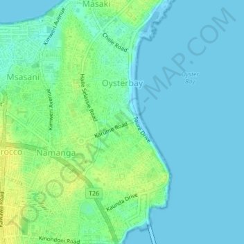
Name: Oysterbay topographic map, elevation, terrain.
Location: Oysterbay, Msasani, Dar es Salaam, Coastal Zone, Tanzania (-6.79099 39.27152 -6.75712 39.28729)
Average elevation: 6 m
Minimum elevation: -1 m
Maximum elevation: 19 m
Other topographic maps
Click on a map to view its topography, its elevation and its terrain.
Kinondoni
Kinondoni, Dar es Salaam, Coastal Zone, 14110, Tanzania
Average elevation: 12 m