
Rego topographic map
Interactive map
Click on the map to display elevation.
About this map
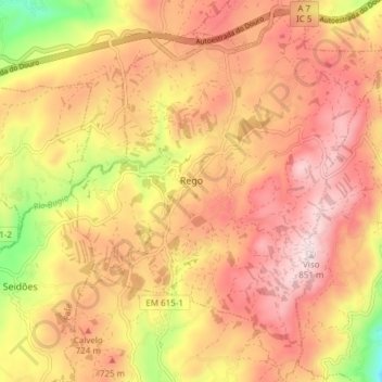
Name: Rego topographic map, elevation, terrain.
Location: Rego, Celorico de Basto, Braga, Norte, 4820-840, Portugal (41.39307 -8.11053 41.44986 -8.04548)
Average elevation: 657 m
Minimum elevation: 360 m
Maximum elevation: 843 m