
Påryd topographic map
Interactive map
Click on the map to display elevation.
About this map
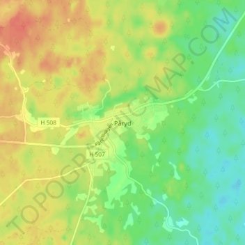
Name: Påryd topographic map, elevation, terrain.
Location: Påryd, Kalmar kommun, Comté de Kalmar, 388 99, Suède (56.54807 15.90652 56.58807 15.94652)
Average elevation: 69 m
Minimum elevation: 49 m
Maximum elevation: 89 m