Geolocate

Miley topographic map

Click on the map to display elevation.

About this map

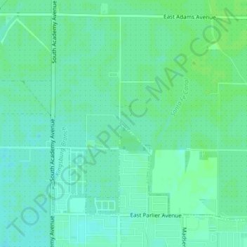
Name: Miley topographic map, elevation, terrain.

Location: Miley, Fresno County, California, 93648, United States (36.61217 -119.55707 36.63217 -119.53707)

Average elevation: 106 m

Minimum elevation: 101 m

Maximum elevation: 109 m

Gear up for your next adventure:

🎒Tactical Waist Packs - Quick access to your compass, phone, and snacks while walking
🥾Hiking Boots - Durable hiking boots for trails and rough terrain
📡Satellite Messengers - Emergency communication devices
🧳Outdoor Travel Organizers - Gear organization accessories
🏫Topographic World Globes - 3D physical relief globes to understand global geography

As an Amazon Associate, this site earns from qualifying purchases at no extra cost to you.