
Weston topographic map
Interactive map
Click on the map to display elevation.
About this map
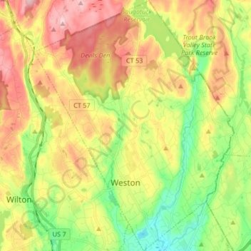
Name: Weston topographic map, elevation, terrain.
Average elevation: 98 m
Minimum elevation: 4 m
Maximum elevation: 206 m
Other topographic maps
Click on a map to view its topography, its elevation and its terrain.
Cedar Heights
United States > Connecticut > Western Connecticut COG > Danbury
Average elevation: 145 m