
Hanjagi topographic map
Interactive map
Click on the map to display elevation.
About this map
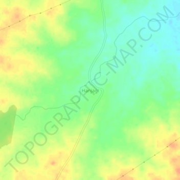
Name: Hanjagi topographic map, elevation, terrain.
Location: Hanjagi, Indi taluku, Vijayapura district, Karnataka, India (17.11809 75.88441 17.15809 75.92441)
Average elevation: 489 m
Minimum elevation: 471 m
Maximum elevation: 507 m