
Thank you for supporting this site ❤️
Make a donation
Make a donation
Gear up for your next adventure:
As an Amazon Associate, this site earns from qualifying purchases at no extra cost to you.
Tarlabaşı topographic map
Click on the map to display elevation.
Thank you for supporting this site ❤️
Make a donation
Make a donation
Gear up for your next adventure:
As an Amazon Associate, this site earns from qualifying purchases at no extra cost to you.
About this map
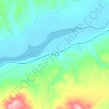
Name: Tarlabaşı topographic map, elevation, terrain.
Location: Tarlabaşı, Bingöl, Eastern Anatolia Region, Turkey (38.70731 40.47024 38.74731 40.51024)
Average elevation: 1,055 m
Minimum elevation: 974 m
Maximum elevation: 1,295 m
Thank you for supporting this site ❤️
Make a donation
Make a donation
Gear up for your next adventure:
As an Amazon Associate, this site earns from qualifying purchases at no extra cost to you.