Geolocate

Santa Maria topographic map

Click on the map to display elevation.

About this map

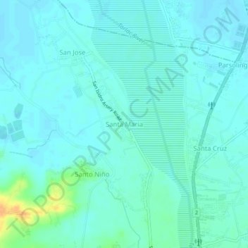
Name: Santa Maria topographic map, elevation, terrain.

Location: Santa Maria, Tarlac, Central Luzon, Philippines (15.52614 120.56186 15.56614 120.60186)

Average elevation: 37 m

Minimum elevation: 31 m

Maximum elevation: 63 m

Gear up for your next adventure:

Outdoor Coffee Makers - Enjoy quality coffee at the summit of your favorite peak
🎒Daypacks - Compact backpacks for short hikes
🏃Compression Recovery Socks - Reduce leg fatigue after heavy days of elevation gain
🔦Headlamps - Hands-free lighting for hiking
👣Snake & Scrub Gaiters - Protection against spinifex, mud, and snakes while walking off-track

As an Amazon Associate, this site earns from qualifying purchases at no extra cost to you.