
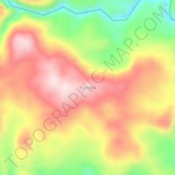
Kerewa topographic map
Interactive map
Click on the map to display elevation.
About this map
Name: Kerewa topographic map, elevation, terrain.
Location: Kerewa, East New Britain, Islands Region, Papua New Guinea (-5.86704 151.16758 -5.82704 151.20758)
Average elevation: 324 m
Minimum elevation: 98 m
Maximum elevation: 507 m