
Make a donation
Gear up for your next adventure:
As an Amazon Associate, this site earns from qualifying purchases at no extra cost to you.
Chisholm Trail topographic map
Click on the map to display elevation.
Make a donation
Gear up for your next adventure:
As an Amazon Associate, this site earns from qualifying purchases at no extra cost to you.
About this map
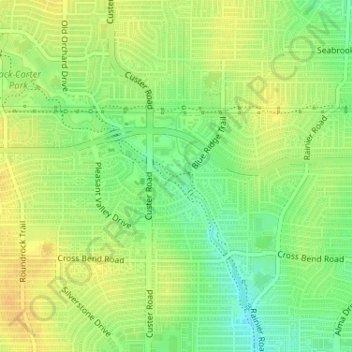
Name: Chisholm Trail topographic map, elevation, terrain.
Location: Chisholm Trail, Plano, Collin County, Texas, United States (33.05381 -96.73313 33.05694 -96.72900)
Average elevation: 210 m
Minimum elevation: 194 m
Maximum elevation: 221 m
Make a donation
Gear up for your next adventure:
As an Amazon Associate, this site earns from qualifying purchases at no extra cost to you.
Other topographic maps
Click on a map to view its topography, its elevation and its terrain.
Plano
United States > Texas > Collin County > Plano
At first, Plano's population grew slowly, reaching 1,304 in 1900 and 3,695 in 1960. By 1970, Plano began to feel some of the boom its neighbors had experienced after World War II. A series of public works projects and a change in taxes that removed the farming community from the town helped increase the…
Average elevation: 181 m