
Porgera topographic map
Interactive map
Click on the map to display elevation.
About this map
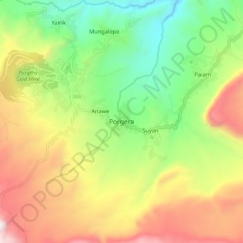
Name: Porgera topographic map, elevation, terrain.
Location: Porgera, Enga, Hochlandregion, Papua-Neuguinea (-5.51952 143.08309 -5.43952 143.16309)
Average elevation: 2,413 m
Minimum elevation: 1,739 m
Maximum elevation: 3,297 m