
Pías topographic map
Interactive map
Click on the map to display elevation.
About this map
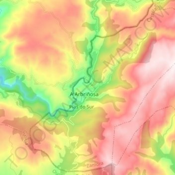
Name: Pías topographic map, elevation, terrain.
Location: Pías, Zamora, Castille-et-León, Espagne (42.05142 -7.03404 42.14168 -6.90746)
Average elevation: 1,319 m
Minimum elevation: 845 m
Maximum elevation: 1,718 m