
Northern Hungary topographic map
Interactive map
Click on the map to display elevation.
About this map
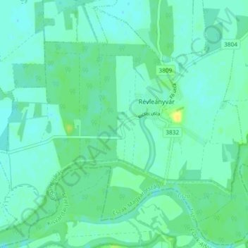
Name: Northern Hungary topographic map, elevation, terrain.
Location: Northern Hungary, Great Plain and North, 3976, Hungary (48.29774 21.99239 48.34369 22.06554)
Average elevation: 99 m
Minimum elevation: 94 m
Maximum elevation: 112 m
Other topographic maps
Click on a map to view its topography, its elevation and its terrain.