
Noble County topographic map
Interactive map
Click on the map to display elevation.
About this map
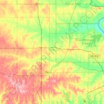
Name: Noble County topographic map, elevation, terrain.
Location: Noble County, Oklahoma, United States (36.15922 -97.46171 36.60008 -96.88657)
Average elevation: 310 m
Minimum elevation: 255 m
Maximum elevation: 388 m