
Chandler topographic map
Interactive map
Click on the map to display elevation.
About this map
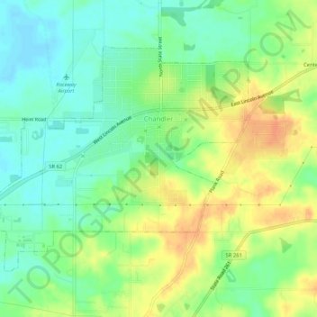
Name: Chandler topographic map, elevation, terrain.
Location: Chandler, Warrick County, Indiana, 47610, United States (38.02204 -87.40187 38.05106 -87.35019)
Average elevation: 129 m
Minimum elevation: 112 m
Maximum elevation: 150 m