
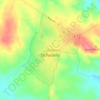
Vichadero topographic map
Interactive map
Click on the map to display elevation.
About this map
Name: Vichadero topographic map, elevation, terrain.
Location: Vichadero, Rivera, 41200, Uruguay (-31.78744 -54.70121 -31.76775 -54.68297)
Average elevation: 229 m
Minimum elevation: 183 m
Maximum elevation: 279 m