
Lindeman topographic map
Interactive map
Click on the map to display elevation.
About this map
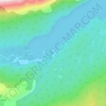
Name: Lindeman topographic map, elevation, terrain.
Location: Lindeman, Stikine Region, British Columbia, Canada (59.76463 -135.10117 59.80463 -135.06117)
Average elevation: 803 m
Minimum elevation: 663 m
Maximum elevation: 1,480 m