
Althea topographic map
Interactive map
Click on the map to display elevation.
About this map
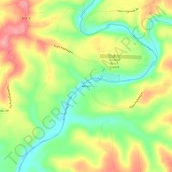
Name: Althea topographic map, elevation, terrain.
Location: Althea, Ozark County, Missouri, Verenigde Staten (36.62145 -92.24877 36.66145 -92.20877)
Average elevation: 234 m
Minimum elevation: 180 m
Maximum elevation: 293 m