
Endeavor topographic map
Click on the map to display elevation.
About this map
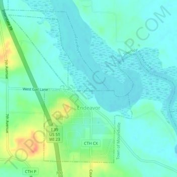
Name: Endeavor topographic map, elevation, terrain.
Location: Endeavor, Marquette County, Wisconsin, United States (43.70742 -89.48313 43.72995 -89.45707)
Average elevation: 242 m
Minimum elevation: 231 m
Maximum elevation: 274 m