
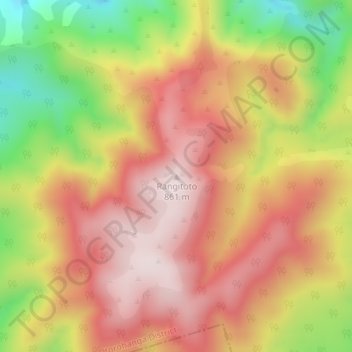
Rangitoto topographic map
Interactive map
Click on the map to display elevation.
About this map
Name: Rangitoto topographic map, elevation, terrain.
Location: Rangitoto, Otorohanga District, Waikato, New Zealand (-38.35780 175.41791 -38.35770 175.41801)
Average elevation: 660 m
Minimum elevation: 364 m
Maximum elevation: 865 m