
Grünhorn topographic map
Interactive map
Click on the map to display elevation.
About this map
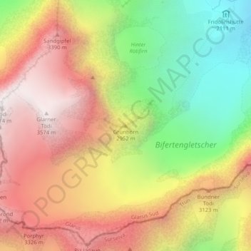
Name: Grünhorn topographic map, elevation, terrain.
Location: Grünhorn, Glarus Süd, Glarus, Zwitserland (46.80920 8.93428 46.80930 8.93438)
Average elevation: 2,826 m
Minimum elevation: 2,002 m
Maximum elevation: 3,576 m
Other topographic maps
Click on a map to view its topography, its elevation and its terrain.
Horen
Zwitserland > Glarus > Glarus Süd
Horen, Glarus Süd, Glarus, Zwitserland
Average elevation: 1,963 m