
Oakhurst topographic map
Interactive map
Click on the map to display elevation.
Oakhurst
According to the U.S. Census Bureau, the Oakhurst CDP has a total area of 1.614 square miles (4.180 km2), including 0.003 square miles (0.008 km2) of water (0.19%). The community is drained by Poplar Brook, which flows east to the Atlantic at Deal. Elevations in Oakhurst range from less than 20 feet (6.1 m) above sea level along Poplar Brook to over 60 feet (18 m) in the northern and southwestern parts of the community.
About this map
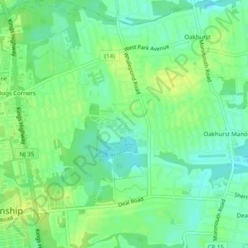
Name: Oakhurst topographic map, elevation, terrain.
Average elevation: 15 m
Minimum elevation: 6 m
Maximum elevation: 23 m