Geolocate

Kankot topographic map

Click on the map to display elevation.

About this map
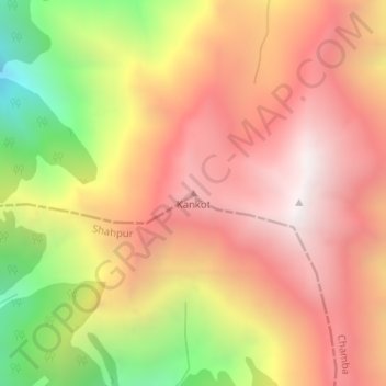
Name: Kankot topographic map, elevation, terrain.

Location: Kankot, Chamba, Himachal Pradesh, India (32.39615 76.24781 32.39625 76.24791)

Average elevation: 3,611 m

Minimum elevation: 2,762 m

Maximum elevation: 4,176 m

Gear up for your next adventure:

📟Satellite Messengers - Two-way satellite communication to stay in touch beyond the cellular grid
🆘Personal Locator Beacons (PLB) - Satellite emergency beacons for life-saving help in areas with no mobile coverage
📡Satellite Messengers - Emergency communication devices
🗺️Topographic Maps - Detailed maps for hiking and navigation
🧦Merino Wool Hiking Socks - Moisture-wicking socks to prevent blisters during long topographic surveys

As an Amazon Associate, this site earns from qualifying purchases at no extra cost to you.