
Palwo topographic map
Interactive map
Click on the map to display elevation.
About this map
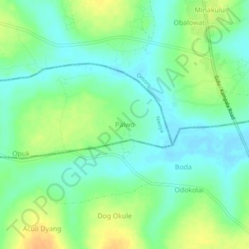
Name: Palwo topographic map, elevation, terrain.
Location: Palwo, Nwoya, Northern Region, Uganda (2.45970 32.33449 2.49970 32.37449)
Average elevation: 1,061 m
Minimum elevation: 1,049 m
Maximum elevation: 1,080 m
Other topographic maps
Click on a map to view its topography, its elevation and its terrain.