
Exposition Park topographic map
Interactive map
Click on the map to display elevation.
About this map
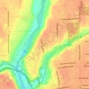
Name: Exposition Park topographic map, elevation, terrain.
Location: Exposition Park, Fort Dodge, Webster County, Iowa, USA (42.51791 -94.19354 42.51914 -94.19145)
Average elevation: 329 m
Minimum elevation: 293 m
Maximum elevation: 348 m