
La Independencia topographic map
Interactive map
Click on the map to display elevation.
About this map
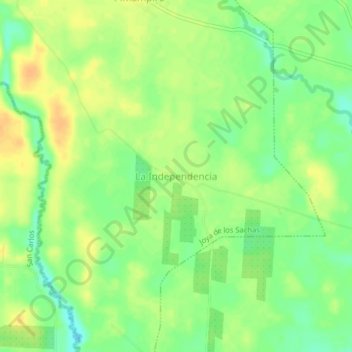
Name: La Independencia topographic map, elevation, terrain.
Location: La Independencia, Joya de los Sachas, Orellana, Ecuador (-0.38628 -76.85987 -0.34628 -76.81987)
Average elevation: 261 m
Minimum elevation: 244 m
Maximum elevation: 276 m