
Raitel topographic map
Interactive map
Click on the map to display elevation.
About this map
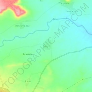
Name: Raitel topographic map, elevation, terrain.
Location: Raitel, Dhule, Maharashtra, Indien (21.12456 74.14695 21.16456 74.18695)
Average elevation: 561 m
Minimum elevation: 519 m
Maximum elevation: 671 m