
Hernando Beach topographic map
Interactive map
Click on the map to display elevation.
About this map
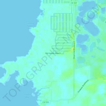
Name: Hernando Beach topographic map, elevation, terrain.
Location: Hernando Beach, Hernando County, Florida, 34679, USA (28.44944 -82.67927 28.48944 -82.63927)
Average elevation: 3 m
Minimum elevation: -1 m
Maximum elevation: 12 m