
Kashaka topographic map
Interactive map
Click on the map to display elevation.
About this map
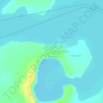
Name: Kashaka topographic map, elevation, terrain.
Location: Kashaka, Rubirizi, Western Region, Uganda (-0.07751 30.17270 -0.07350 30.18086)
Average elevation: 918 m
Minimum elevation: 912 m
Maximum elevation: 939 m
Other topographic maps
Click on a map to view its topography, its elevation and its terrain.
Kalinzu Central Forest Reserve
Kalinzu Central Forest Reserve, Mbarara - Kasese Road, Rugazi mission, Katara, Rubirizi, Western Region, Uganda
Average elevation: 1,332 m