Geolocate

Omen topographic map

Click on the map to display elevation.

About this map

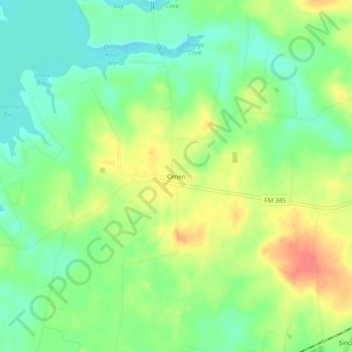
Name: Omen topographic map, elevation, terrain.

Location: Omen, Smith County, Texas, 75750, United States (32.19738 -95.12411 32.23738 -95.08411)

Average elevation: 135 m

Minimum elevation: 110 m

Maximum elevation: 168 m

Other topographic maps

Click on a map to view its topography, its elevation and its terrain.

Tyler

United States > Texas > Smith County

Average elevation: 147 m

Gear up for your next adventure:

🧣Merino Neck Gaiters - Versatile headwear for warmth, sun protection, or dust filtering
🌧️Rain Jackets - Waterproof jackets for hiking
👄SPF Lip Balm - Prevent sun and wind-burnt lips on mountain ridges
🔑Heavy Duty Carabiners - Secure gear to the outside of your pack for easy access
💧Personal Water Filters - Drink safely from streams and lakes identified on your map

As an Amazon Associate, this site earns from qualifying purchases at no extra cost to you.