
ក្រុងកំពត topographic map
Interactive map
Click on the map to display elevation.
About this map
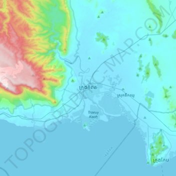
Name: ក្រុងកំពត topographic map, elevation, terrain.
Location: ក្រុងកំពត, ខេត្តកំពត, Kambodscha (10.45831 104.01973 10.77831 104.33973)
Average elevation: 127 m
Minimum elevation: -1 m
Maximum elevation: 1,066 m