
Groß-Gerau topographic map
Interactive map
Click on the map to display elevation.
About this map
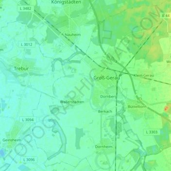
Name: Groß-Gerau topographic map, elevation, terrain.
Location: Groß-Gerau, Kreis Groß-Gerau, Hessen, 64521, Duitsland (49.86313 8.40462 49.96586 8.55083)
Average elevation: 91 m
Minimum elevation: 83 m
Maximum elevation: 111 m
Other topographic maps
Click on a map to view its topography, its elevation and its terrain.
Gernsheim
Duitsland > Hessen > Kreis Groß-Gerau
Gernsheim, Kreis Groß-Gerau, Hessen, 64579, Duitsland
Average elevation: 90 m
Stockstadt am Rhein
Duitsland > Hessen > Kreis Groß-Gerau > Stockstadt
Stockstadt am Rhein, Stockstadt, Kreis Groß-Gerau, Hessen, 64589, Duitsland
Average elevation: 89 m
Groß-Gerau
Duitsland > Hessen > Kreis Groß-Gerau > Groß-Gerau > Groß-Gerau
Groß-Gerau, Kreis Groß-Gerau, Hessen, 64521, Duitsland
Average elevation: 90 m