
Korong topographic map
Interactive map
Click on the map to display elevation.
About this map
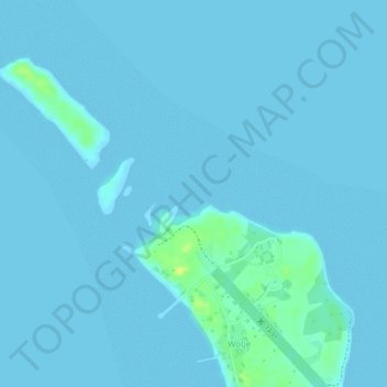
Name: Korong topographic map, elevation, terrain.
Location: Korong, Wotje, Marshall Islands (9.46807 170.23303 9.46817 170.23313)
Average elevation: 2 m
Minimum elevation: 0 m
Maximum elevation: 19 m