
El Biar topographic map
Interactive map
Click on the map to display elevation.
About this map
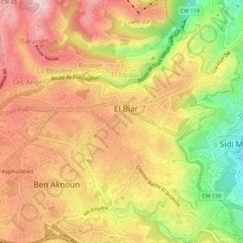
Name: El Biar topographic map, elevation, terrain.
Location: El Biar, Daïra Bouzareah, Alger, Algérie (36.75498 3.01017 36.77948 3.04851)
Average elevation: 218 m
Minimum elevation: 48 m
Maximum elevation: 338 m