
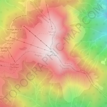
Monte Pora topographic map
Interactive map
Click on the map to display elevation.
About this map
Name: Monte Pora topographic map, elevation, terrain.
Location: Monte Pora, Rogno, Bergamo, Lombardia, 24060, Italia (45.88523 10.10939 45.88533 10.10949)
Average elevation: 1,419 m
Minimum elevation: 716 m
Maximum elevation: 1,869 m